
Wall Maps
Routledge 2011 Maps
The seven maps below were published as a set by Routledge but have now gone out of print. Rights have reverted to the Center, and we are pleased to make them available under the CC-BY-NC 4.0 License![]() . These maps can be used digitally or printed—the dimensions for each are given in inches (width by height) along with the scale.
. These maps can be used digitally or printed—the dimensions for each are given in inches (width by height) along with the scale.
To access these maps, as well as metadata and alt text, open the link and download the file from Dropbox.
- Egypt and the Near East, 3000 to 1200 BCE (70 by 50 inches, 1 to 1,750,000 scale)

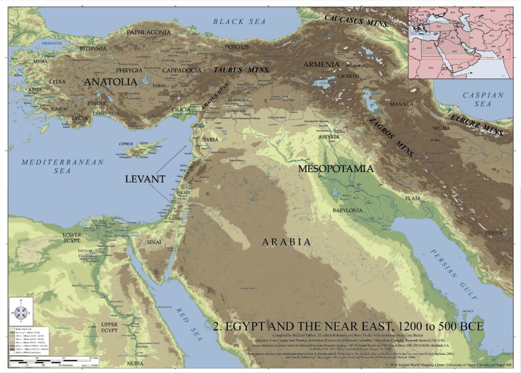
- Egypt and the Near East, 1200 to 500 BCE (70 by 50 inches, 1 to 1,750,000 scale)
- Greece and the Aegean in the Fifth Century BCE (66 by 48 inches, 1 to 750,000 scale)
- Greece and Persia in the Time of Alexander the Great (65 by 35 inches, 1 to 4,000,000 scale)
- Italy in the Mid-First Century CE (70 by 58 inches, 1 to 775,000 scale)
- The World of the New Testament and the Journeys of Paul (65 by 50 inches, 1 to 1,750,000 scale)
- The Roman Empire around 200 CE (75 by 56 inches, 1 to 3,000,000 scale)
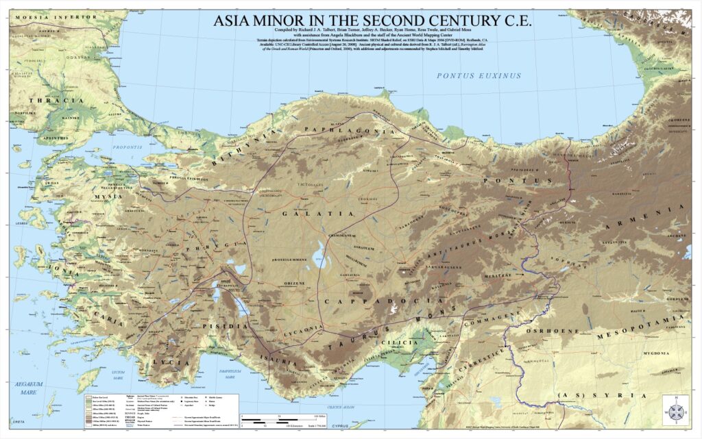
Asia Minor in the Second Century CE
Originally displayed in draft form at the ‘Roads and Routes in Anatolia’ conference organized by the British Institute at Ankara (March 2014), this map is a successor to that of J.G.C. Anderson (1903) and its partial revision by W.M. Calder and G.E. Bean (1958)![]() . The map is at 1 to 750,000 scale, and prints at a size of 80 by 50 inches (at 300 DPI).
. The map is at 1 to 750,000 scale, and prints at a size of 80 by 50 inches (at 300 DPI).
For access to this map, please email awmc@unc.edu.