Maps
Since its foundation, AWMC has worked to create maps for use both in scholarly publication and in the classroom, partnering with scholars and educators to expand our geographic knowledge of the ancient Mediterranean world. Many of our maps are available for free educational use under the CC-BY-NC 4.0 License ![]() . These maps can also be licensed for publication at nominal cost—please contact awmc@unc.edu for details.
. These maps can also be licensed for publication at nominal cost—please contact awmc@unc.edu for details.
Users can view and download AWMC Maps from the following categories:
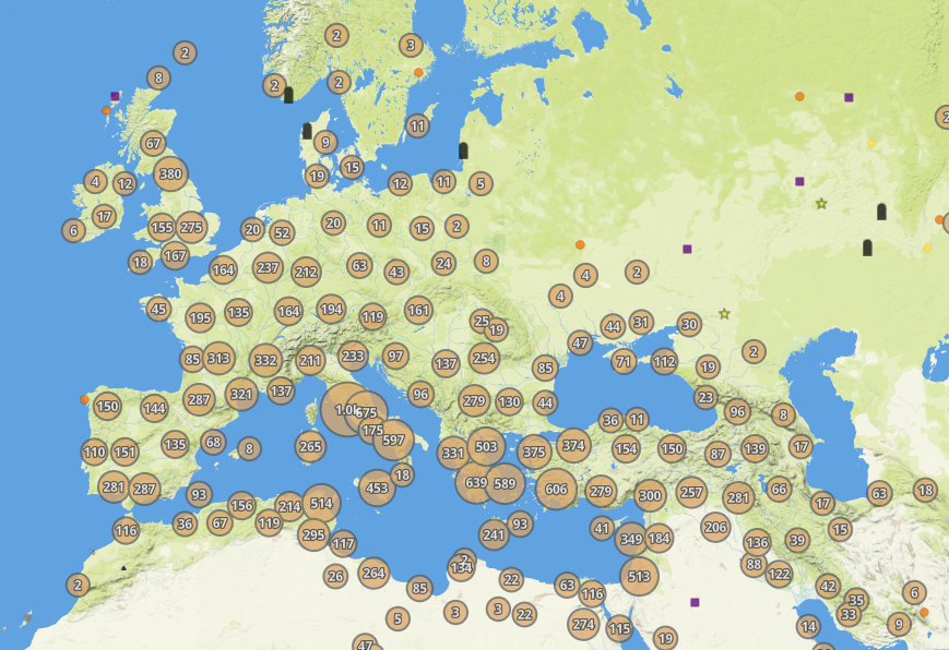
AWMC Interactive
A map application for exploring the geography of the ancient Mediterranean, which allows users to view GIS data from AWMC, Pleiades, and other partners, and to export their own customized maps.
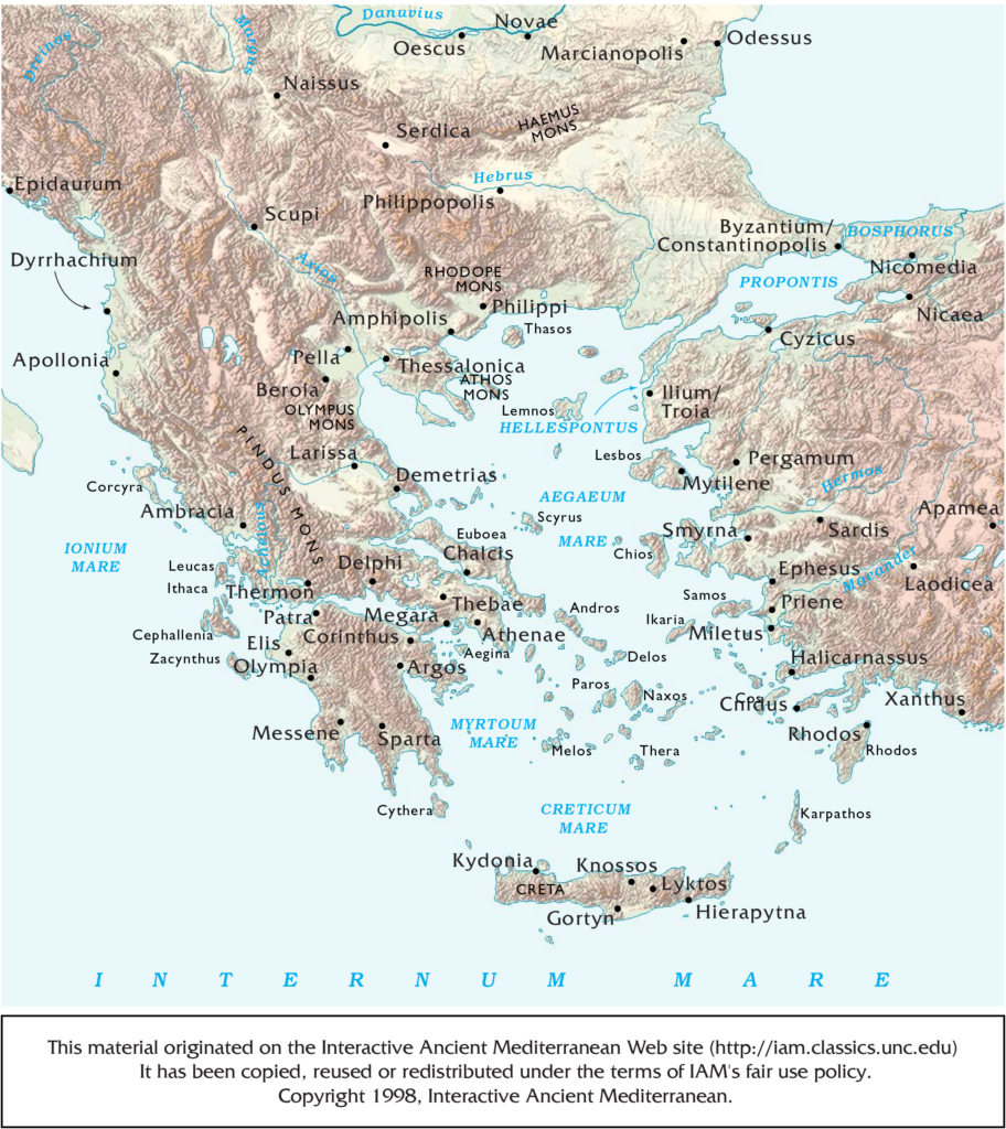
Classroom Maps
Maps of the ancient Mediterranean world designed especially for use in university- and secondary-level courses in History, Classical Literature, Latin, and Ancient Greek. Each of the maps on this page is available in multiple versions, including ones suitable for map quizzes.
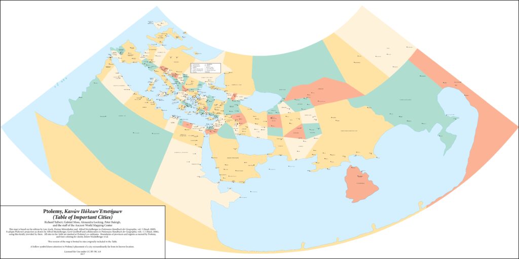
Maps for Texts
Begun in 2015, the Maps for Texts series provides maps and other GIS data to accompany ancient literature, particularly geographically-focused works by authors such as Ptolemy, Hierokles, and Strabo.
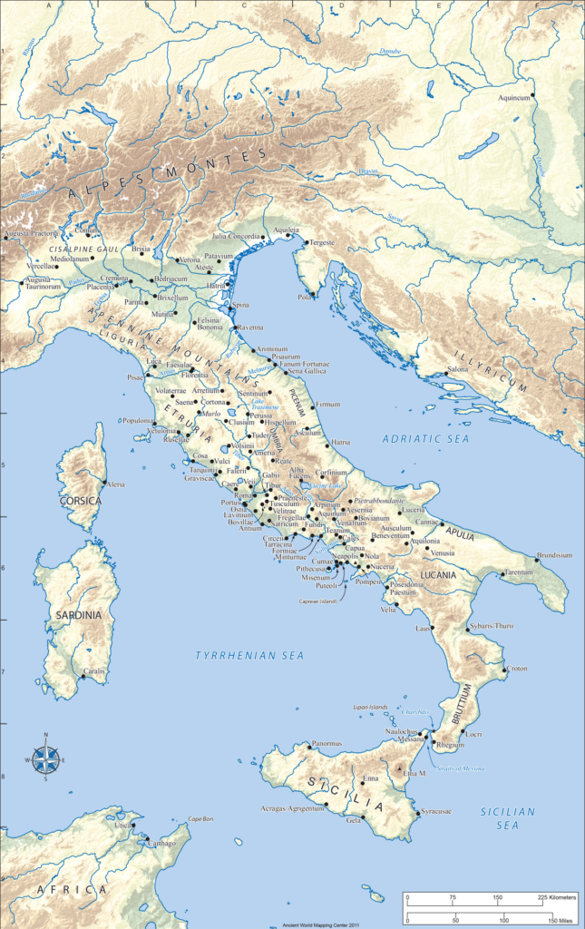
The Romans: From Village to Empire
Maps originally produced by AWMC for The Romans: From Village to Empire ![]() , a leading textbook on Roman history by Mary T. Boatwright, Daniel J. Gargola, Richard J.A. Talbert, and Noel Lenski.
, a leading textbook on Roman history by Mary T. Boatwright, Daniel J. Gargola, Richard J.A. Talbert, and Noel Lenski.
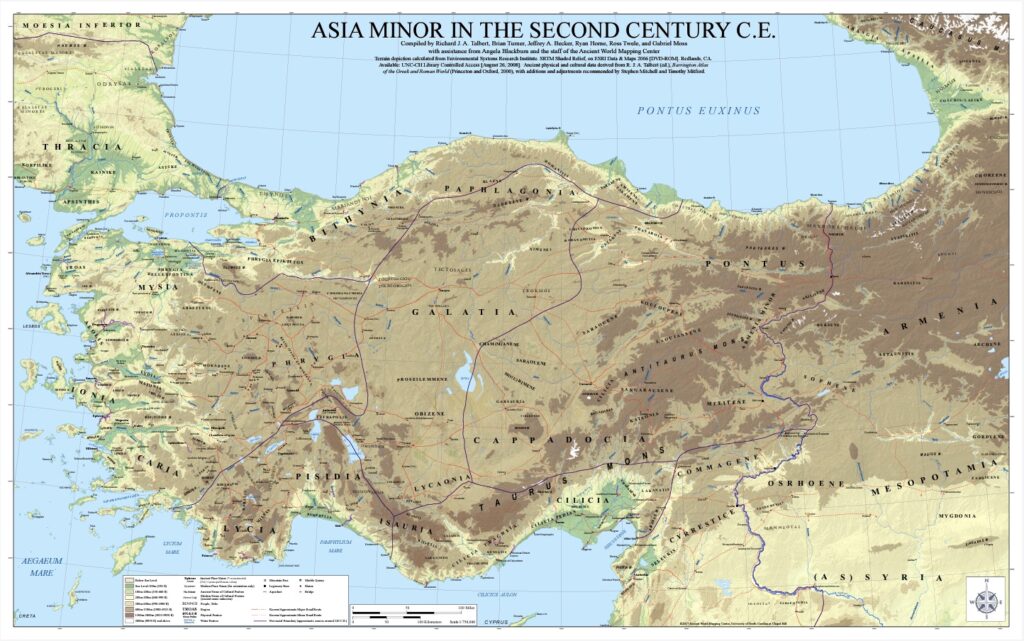
Wall Maps
A series of wall-sized maps ideal for printing at large-scale.