
AWMC Interactive
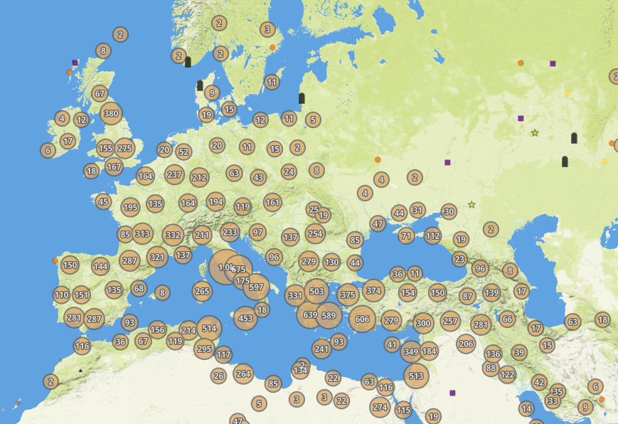
Built using ArcGIS Online, AWMC Interactive allows users to view geospatial data from the Mapping Center, the Pleiades Gazetteer, and other partners without the need for specialized GIS software or training. The current version of this software is a prototype, released for beta testing in February 2024–AWMC hopes to gather feedback and improve the program before launching a fuller version. Please reach out to awmc@unc.edu with any questions, suggestions, or critiques.